 U.S. Marine Veteran Operated
Real Estate Photography
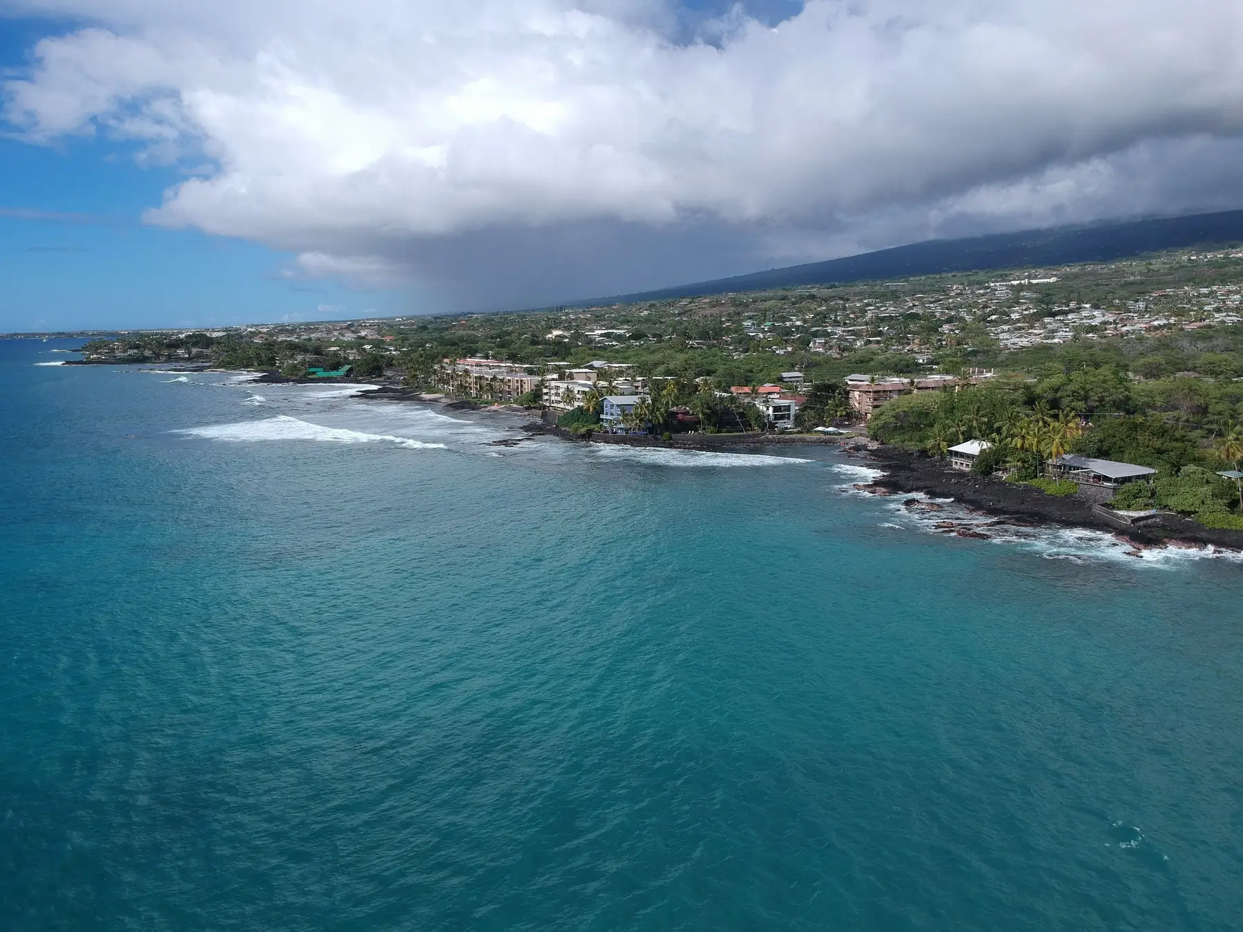
High-impact aerial photos and video that help residential, commercial, and land listings stand out.
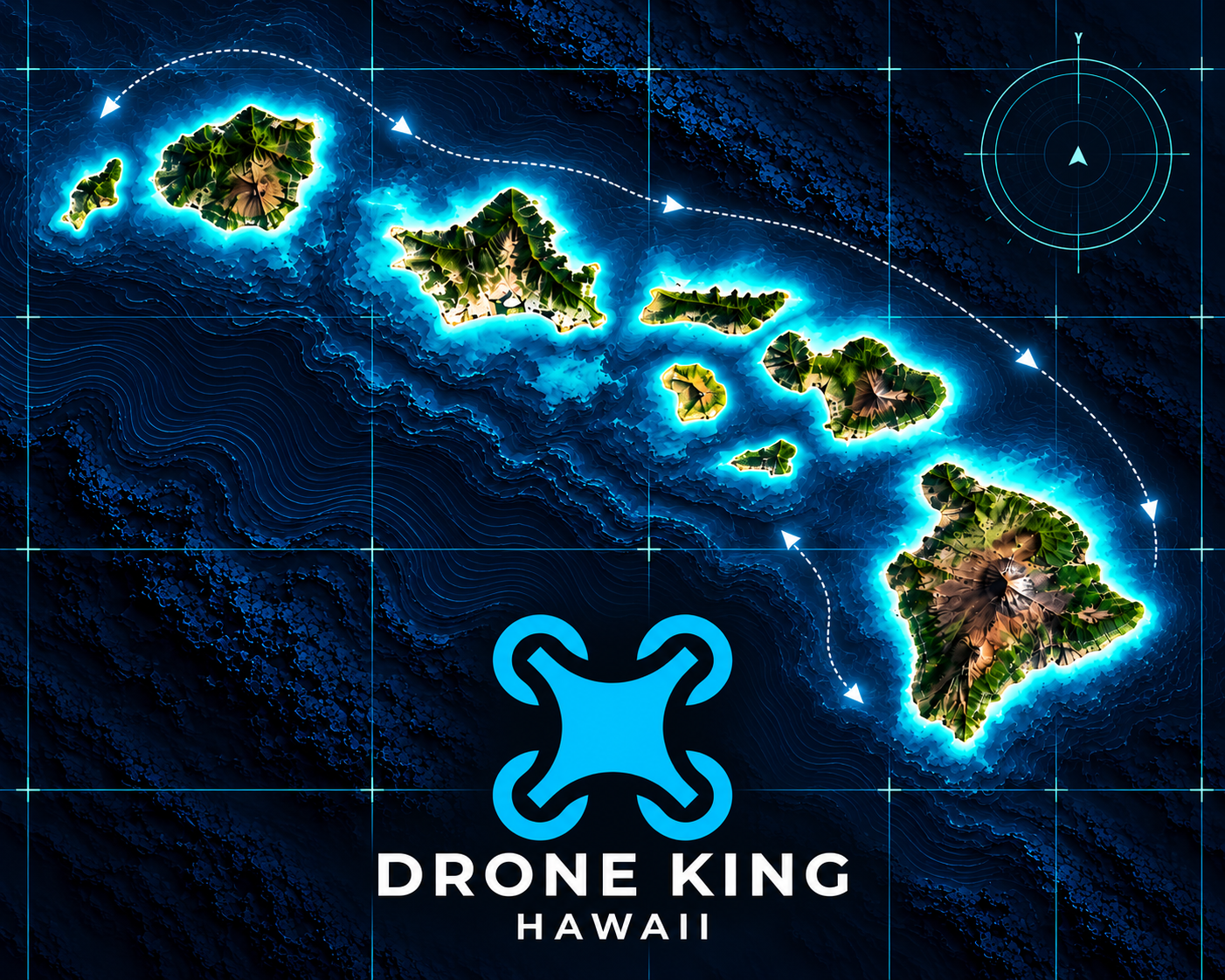
Mapping, inspections, project documentation, and real-estate media across Every Hawaiian island—backed by real-world construction and renewable-energy experience.
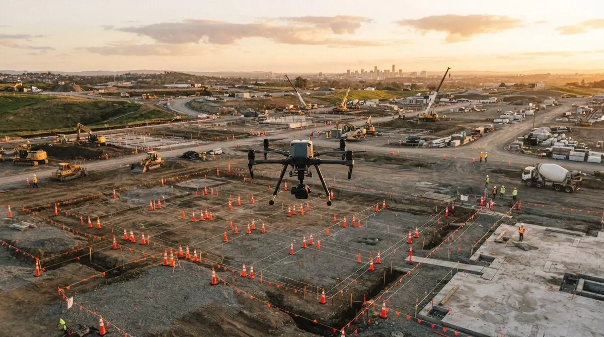
From a single property shoot to recurring construction progress flights, Drone King Hawaii delivers clean, useful aerial imagery with professional execution.
High-impact aerial photos and video that help residential, commercial, and land listings stand out.
Repeatable aerial documentation for owners, contractors, project managers, stakeholders, and closeout records.
Visual access to rooftops, structures, solar arrays, exterior conditions, and difficult-to-reach areas.
Professional aerial content for websites, social media, tourism, hospitality, development, and local businesses.
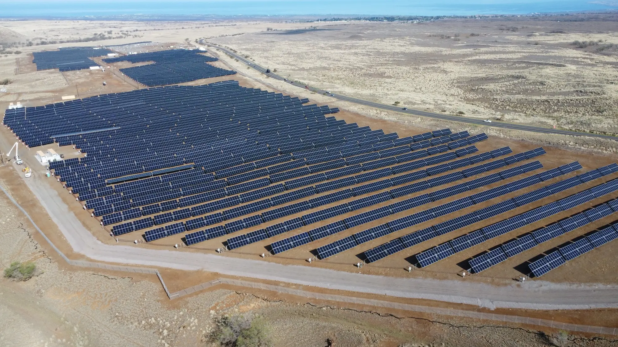
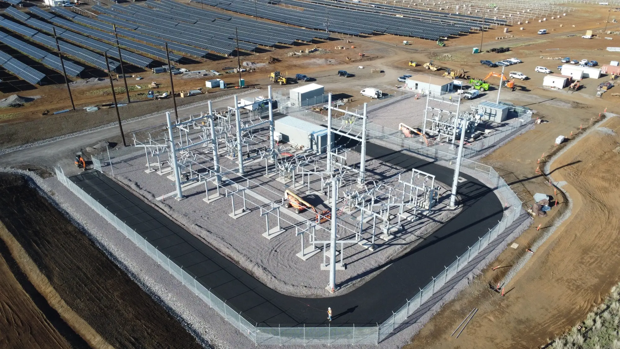
Aerial documentation for solar, wind, BESS, infrastructure, O&M, and renewable-energy construction projects.
Need something different? We can develop a flight plan and deliverables around your specific project requirements.
Structured aerial video capture for spatial review, progress visualization, site documentation, and change-over-time analysis.
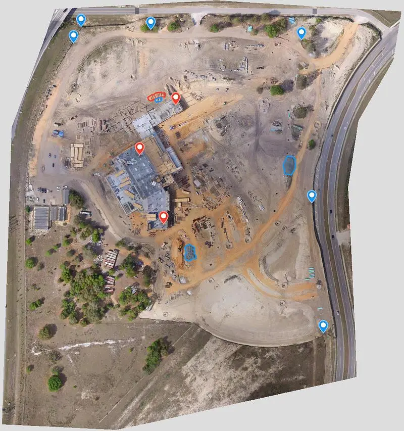
Planned image capture for orthomosaics, site maps, progress comparisons, project planning, and stakeholder reporting.
Drone mapping products support project planning and documentation and are not a substitute for a licensed boundary survey.
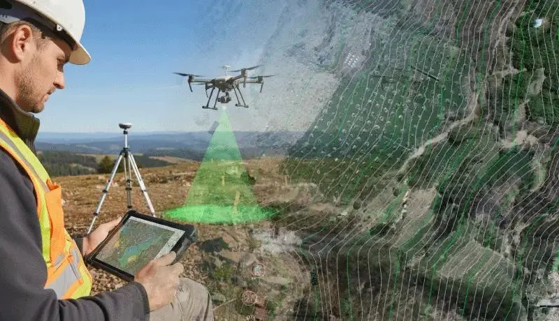
Repeatable flight planning and high-resolution image capture help project teams document conditions, compare progress, visualize terrain, and communicate site data.
Consistent aerial datasets for milestone reviews, coordination, and stakeholder updates.
High-resolution, map-aligned site imagery for planning, documentation, and visual reference.
Terrain and elevation visualization to support site understanding and project discussions.
Photogrammetry-based models that make complex sites easier to review from multiple angles.
Repeatable capture that supports material tracking and volume calculations when project controls are available.
Detailed aerial documentation of assets, access areas, exterior conditions, and hard-to-reach locations.
Need a repeatable mapping flight plan for your property or project?
Discuss Your Mapping ProjectMapping and modeling products support planning and documentation. Boundary, legal, and licensed land-survey services require an appropriately licensed survey professional.
Drone King Hawaii brings a construction-management perspective to aerial work. That means imagery is captured with an understanding of project sequencing, site conditions, safety, quality control, progress tracking, and stakeholder reporting.
PROFESSIONAL • LOCAL • RELIABLE
Drone King Hawaii is a veteran-operated aerial imaging business serving the State of Hawaii. The company combines FAA Part 107 flight operations with hands-on experience in construction, renewable energy, field operations, and project documentation.
Every mission is approached with discipline, attention to detail, respect for the community, and a clear understanding of what the client actually needs from the final imagery.
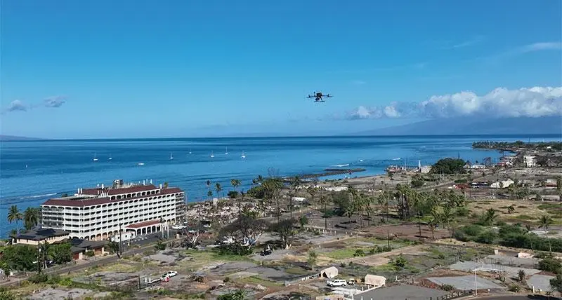
A growing portfolio of aerial photography and project-focused visual documentation across Hawaiʻi.
Every mission starts with the way your team plans to use the final material. Deliverables are organized around the property, project, inspection, or report.
High-resolution aerial images prepared for listings, presentations, websites, and project records.
Smooth, professionally captured footage for marketing, property showcases, and stakeholder communication.
Map-aligned aerial imagery that provides a clear, current overview of the entire site.
Repeatable views that make weekly, monthly, and milestone changes easier to communicate.
Photogrammetry-based visual models for planning, coordination, condition review, and presentations.
Organized visuals for hard-to-reach conditions, punch lists, closeout records, and client-ready reports.
Share the location, purpose, desired shots, timeline, and intended use.
We review airspace, weather, safety, site conditions, and the required deliverables.
We conduct the flight and provide polished, client-ready aerial content.
Tell Drone King Hawaii what you need and where the project is located. We’ll help determine the right aerial solution. Pricing is customized to the scope of work.